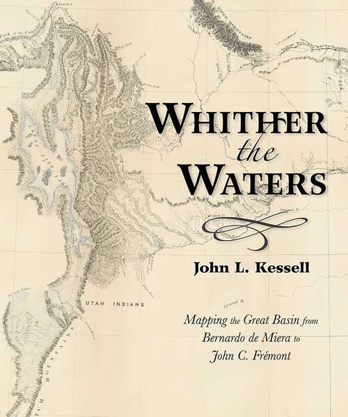
Whither the Waters: Mapping the Great Basin from Bernardo de Miera to John C. Frémont
United States history
Synthetic audio, Automated braille
Summary
Bernardo de Miera y Pacheco (1713–1785) is remembered today not only as colonial New Mexico&’s preeminent religious artist, but also as the cartographer who drew some of the most important early maps of the American West. His &“Plano Geographico&” of… the Colorado Plateau and Great Basin, revised by his hand in 1778, influenced other mapmakers for almost a century. This book places the man and the map in historical context, reminding readers of the enduring significance of Miera y Pacheco. Later Spanish cartographers, as well as Baron Alexander von Humboldt, Captain Zebulon Montgomery Pike, and Henry Schenck Tanner, projected or expanded upon the Santa Fe cartographer&’s imagery. By so doing, they perpetuated Miera y Pacheco&’s most notable hydrographic misinterpretations. Not until almost seventy years after Miera did John Charles Frémont take the field and see for himself whither the waters ran and whither they didn&’t.